Met Office gives verdict on how Storm Boelo aftermath will affect Greater Manchester this week

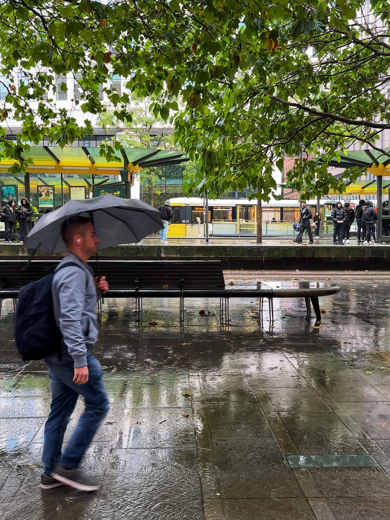
Double weather warning issued for Greater Manchester today
Storm Boelo is finally on his way out, and now the Met Office has given its verdict on what we can expect from the rest of the week.
In the aftermath of two successive storms, Storm Austen followed by Storm Boelo – the latter of which affected Greater Manchester – the UK is now able to begin recovering from the effects of the adverse weather.
But the Met Office has warned that, although there is no named storm, strong winds and heavy rain will continue to affect parts of the UK early this week, before high pressure brings calmer conditions.
Yellow national severe weather warnings are in place for parts of Scotland and western areas of the UK today (Tuesday 27 October), including areas of the North West, as gales and spells of rain bring the potential for ongoing disruption around the region, particularly on exposed coasts and higher ground.
“The continued winds could hamper recovery efforts in some places,” forecasters also unfortunately confirmed.
⚠️ Strong winds and heavy rain continue across parts of the UK early this week with a yellow weather warning in place, before high pressure brings calmer conditions for many from Wednesday ⛅ Read our news release to find out more 👇 https://t.co/EQU4vvaA3B https://t.co/hpvTd8v7EZ
— Met Office (@metoffice) October 26, 2026
As rest of the week pans out though, conditions will begin to settle down and showers are expected to become ‘less frequent’, while winds also ease for most, although gales could continue for a time in the far north.
Thursday is expected be ‘largely dry’ with lighter winds and variable cloud, with a touch of mist and fog likely across parts of England and Wales during the morning.
From Friday and into the weekend, light rain will team up to potentially affect northwestern areas of England, but for the most part, temperatures are expected to remain close to, or slightly above, average for the time of year.
“From Wednesday, high pressure will start to build which will ease the winds and bring a quieter and largely drier end to the week for many, although some rain is still possible in the North and West,” explained Met Office Deputy Chief Forecaster, Steven Keates.
Read more:
- Popular pumpkin patch attraction describes ‘catastrophic’ impact of Storm Boelo
- UK set to be battered by storms as ‘unprecedented’ El Niño arrives this autumn
- James Acaster reveals eerie song all Traitors contestants are forced to listen to before every roundtable
“However, with wind warnings in place, those in warnings areas, particularly in northern Scotland and western high ground, continue to be exposed to strong winds and heavy rain before the more settled weather arrives.”
Featured Image – The Manc Group