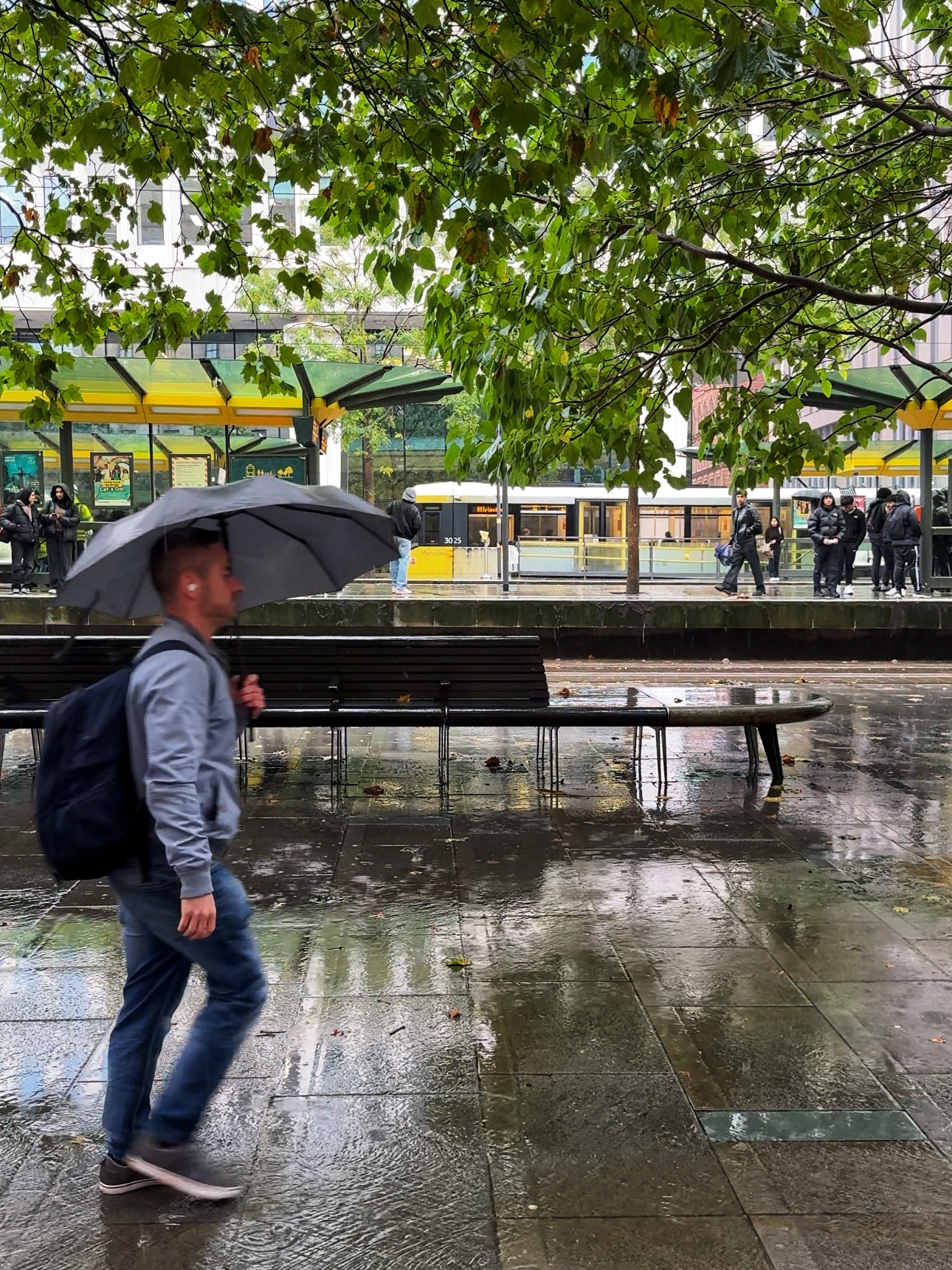
A yellow weather warning for thunderstorms has been issued across Greater Manchester for this week, with some disruption expected.
Nothing says the start of the ‘ber months’ quite like a heavy downpour and some thunderstorms, right? September is here and the summer seems to be long gone, as the Met Office has now issued a series of yellow weather warnings across the UK – including a thunderstorms warning for Greater Manchester and much of the north west.
The Met Office‘s website states that an area of ‘heavy showers and thunderstorms’ is expected, and that this may even cause some localised flooding.
“We’re expecting a band of heavy rain and strong winds to move northeast, followed by heavy showers and the risk of thunderstorms,” commented Rebekah Hicks, who is a Chief Meteorologist at the Met Office.
She explained that as showers progress north-eastward, they will become ‘temporarily slow-moving’, which will lead to an increased chance of surface water flooding.
ADVERTISEMENT
A thunderstorm warning is in force this morning for parts of England and Wales ⚠️
While the vast majority of places will have ‘non-impactful’ rain, a few places within the North West could see 30-60mm in an hour.
Hail and lightning will also be additional, as will possibly-locally impactful hazards.
ADVERTISEMENT
Northern residents are being told to expect difficult driving conditions and some road closures, and where any flooding or lightning strikes should occur, there is also a chance of delays and some cancellations to train and bus services.
There’s also a slight chance that power cuts could occur, and other services to some homes and businesses could be lost.
The Met Office has issued a yellow weather warning for thunderstorms in Greater Manchester / Credit: Johannes Plenio (via Unsplash)
On top of all that, the Met Office says there is a ‘small chance’ that some homes and businesses could be flooded quickly, with damage to some buildings from floodwater, lightning strikes, hail, or strong winds – although this is expected to be unlikely.
ADVERTISEMENT
As Friday, southern areas will begin to see more settled conditions, but unfortunately, it’s a different story for the north.
Here in the North West, it will remain wet and windy for much of the day and weekend.
More information and the latest weather forecasts for Greater Manchester and the North West can be found on the Met Office website here.
Featured Image – The Manc Group
News
Met Office gives verdict on how Storm Boelo aftermath will affect Greater Manchester this week
Emily Sergeant
Storm Boelo is finally on his way out, and now the Met Office has given its verdict on what we can expect from the rest of the week.
In the aftermath of two successive storms, Storm Austen followed by Storm Boelo – the latter of which affected Greater Manchester – the UK is now able to begin recovering from the effects of the adverse weather.
But the Met Office has warned that, although there is no named storm, strong winds and heavy rain will continue to affect parts of the UK early this week, before high pressure brings calmer conditions.
Yellow national severe weather warnings are in place for parts of Scotland and western areas of the UK today (Tuesday 27 October), including areas of the North West, as gales and spells of rain bring the potential for ongoing disruption around the region, particularly on exposed coasts and higher ground.
“The continued winds could hamper recovery efforts in some places,” forecasters also unfortunately confirmed.
⚠️ Strong winds and heavy rain continue across parts of the UK early this week with a yellow weather warning in place, before high pressure brings calmer conditions for many from Wednesday ⛅
Read our news release to find out more 👇
https://t.co/EQU4vvaA3B https://t.co/hpvTd8v7EZ
As rest of the week pans out though, conditions will begin to settle down and showers are expected to become ‘less frequent’, while winds also ease for most, although gales could continue for a time in the far north.
Thursday is expected be ‘largely dry’ with lighter winds and variable cloud, with a touch of mist and fog likely across parts of England and Wales during the morning.
From Friday and into the weekend, light rain will team up to potentially affect northwestern areas of England, but for the most part, temperatures are expected to remain close to, or slightly above, average for the time of year.
“From Wednesday, high pressure will start to build which will ease the winds and bring a quieter and largely drier end to the week for many, although some rain is still possible in the North and West,” explained Met Office Deputy Chief Forecaster, Steven Keates.
“However, with wind warnings in place, those in warnings areas, particularly in northern Scotland and western high ground, continue to be exposed to strong winds and heavy rain before the more settled weather arrives.”
Featured Image – The Manc Group
News
Popular pumpkin patch attraction describes ‘catastrophic’ impact of Storm Boelo
Daisy Jackson
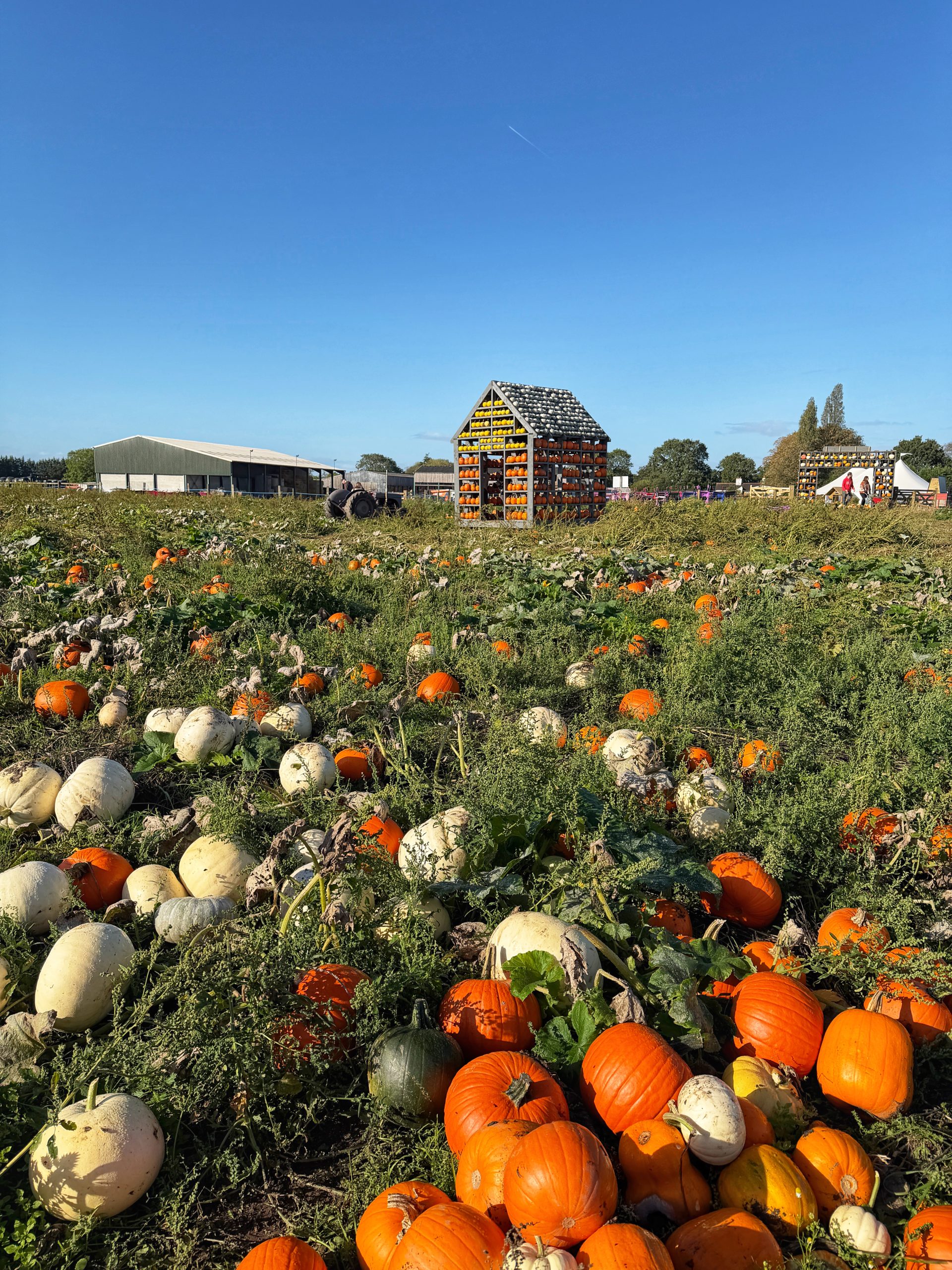
Bates Farm, one of the most popular pumpkin patch attractions in the North West, has shared its heartbreak after Storm Boelo forced its closure on the busiest day of the season.
The Warrington-based family farm said the financial impact has been ‘honestly catastrophic’, after they had to cancel all tickets for Sunday.
Sisters Ali and Fiona Wilshaw, who run the farm, said it was simply not safe to allow members of the public onto the farm in the storm, with ‘crazy’ gusts of wind.
They later shared a video that showed their marquee was badly damaged and many footpaths turned to deep mud.
The sisters said they were ‘heartbroken’ to have to close at such a busy time, but stressed to followers that ‘your safety and our integrity will always come first’.
On Saturday, as Storm Austen and Storm Boelo chased each other across the UK, several people shared videos of themselves getting battered by the weather at Bates Farm.
And it’s pretty clear from that why Ali and Fi decided to cancel all tickets and close for the day on Sunday.
They wrote: “We have put in so much love, energy and investment putting on this event at this scale. The cost to cancel and refund everyone today on our busiest day of the season is honestly catastrophic, but business aside, your safety and our integrity will always come first.
“To think last night we were running round Tesco trying to stock up on milk and now we are in the depths of recovering the site to go again tomorrow. All emails and enquiries are being responded to as quickly as possible and we are doing our best to open up more available slots next week.
“We are being tested like never before, but pulling together in true force. Huge shout out to the whole team and Farmer Fi the absolute queen in any crisis.
“Thank you all for your patience and especially thank you to those who have sent such kind words and support, we are so grateful to have customers like you.
“We will be back tomorrow to enjoy the remaining of this tough season, we are putting in so many provisions with wood chip paths, undercover seating and an indoor barn to make your visit as enjoyable as possible. Ali & Fi.”
Anyone who had tickets to visit Bates Farm on Sunday will be refunded, and can book in for another date.
Bates Farm has safely reopened its autumnal experience and pumpkin patch today.

 Emily Sergeant -
4th September 2025