The UK could be set for thunderstorms and heavy rain this week.
It’s been far from settled conditions across UK in recent days, with Greater Manchester and the North West receiving its fair share of heavy rain showers, but now the Met Office is predicting that warm air from the continent will drive temperatures up later this week, and with that comes the chance of thunderstorms.
A plume of warm air moving in from the south is set to drive a change to the weather later this week, weather forecasters predict.
While rain and showers across the northern half of the UK eased on on Monday night, leaving us with a drier day and spells of sunshine in the afternoon yesterday, things could be about to take a turn for the worst once this evening rolls around.
Heard there's a possibility of thunderstorms this week? ⛈️
These could begin arriving from Wednesday night into Thursday as a plume pushes in from the south
The Met Office does admit that today will be a ‘largely fine and dry day’ for much of the UK, with only certain parts appearing cloudy, the North West not included that, but as the evening begins to set in, so does the potential heavy and thundery showers, predicted to move in through the evening and overnight from the south west.
ADVERTISEMENT
Alarmingly, some western areas could see 20-40mm of rain fall in just a few hours as these intense downpours move through to the North East.
There could ‘frequent lightning’ for some areas too.
ADVERTISEMENT
Thunderstorms and ‘intense downpours’ are forecast to hit the UK from this evening / Credit: The Manc Group
While there are no severe weather warnings issued at the moment, it is possible thunderstorm warnings may be issued this week, the Met Office has hinted, so you may want to keep your eyes peeled.
“After largely benign weather early in the week, some intense, thundery showers will move in on Wednesday evening,” commented the Met Office’s Deputy Chief Meteorologist, Mike Silverstone.
“These thunderstorms are being triggered by some warm, humid air that is moving into the UK from the South, and intense rainfall could see 20-40mm accumulating over just a few hours, which could cause some disruption too.”
ADVERTISEMENT
This week the temperatures are rising and the humidity is building and from Wednesday we are going to see some thundery storms developing.
Find out all the details on this week's weather in our Week Ahead forecast with Alex Deakin 👇 pic.twitter.com/7P1bnQztFN
Think that’s the end of the thunderstorms for the week? Think again.
Once that batch moves North through Thursday, leaving more settled weather for a time through Friday for most, another band of thunderstorms moves in again later on Friday evening, apparently bringing ‘further intense rainfall’ into the early hours of Saturday.
By the end of the weekend though, it’s predicted that the ‘humid and thundery airmass’ will be displaced by ‘fresher’ and ‘generally more settled conditions’ spreading east across the UK.
Featured Image – Wikimedia Commons
News
Salford RLFC issue statement as head coach Mike Grady departs after less than three months
Danny Jones
Salford Rugby League Football Club have issued an official statement following the departure of head coach Mike Grady, who has left the role after less than three months in the job.
It has been insisted that this is not a sacking, but rather a joint decision to terminate his contract.
Grady, who took up the mantle at the start of this project following the end of the Salford Red Devils era, was only appointed on 5 January.
He had previously been in charge of the Red Devils’ women’s side over the past couple of years, but moved over to hopefully lead this new era forward.
As you can see, the club confirmed in a statement that they and Grady have “mutually agreed to part ways due to changes in his personal circumstances.”
They go on to write: “We are forever indebted to Mike for his unwavering commitment to the club. We want to thank him for all his hard work since taking on the role as Head Coach in very challenging circumstances in December.”
Also sharing a comment from former player turned CEO, Ryan Brierley, he said: “Mike came in as Coach at a time when the club had just come through one of its toughest times with the double impact of relegation and liquidation.
“He was willing to roll up his sleeves and bring stability to the club on the pitch. The fact we were able to field a team against Oldham in January, after only three weeks, speaks volumes about his commitment and determination. To beat Hunslet at home only four weeks later was a fantastic achievement.
“Mike will always be remembered as the person [who] strived and achieved the objective of sending out the first Salford team of this new era. A team running onto the pitch, after so much hard work, gave us all something to cheer about. We also remember how well he successfully guided our women’s team to third and fourth place finishes in the Championship.”
Sharing his own farewell message, he went on to add: “I want to thank Ryan for the opportunity to represent this great club and fan base. What we created at the start of the year was pretty special, and I’m proud to have built that.
“I’m happy to leave the club in a better place than I found it and wish the club all the best for the future.” Salford RLFC have already assured that they are now recruiting for his replacement.
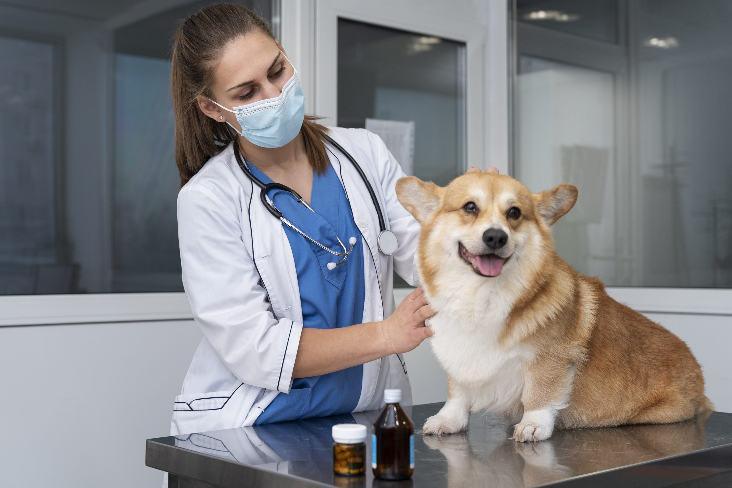
Price caps and standardisations to be introduced for vet care in UK following major investigation
Emily Sergeant
Reforms to the veterinary industry to help pet owners better navigate the vet services market are set to be introduced this year.
After an independent inquiry group recently found that the current system is leaving pet owners ‘in the dark’, with a lack of information to help make informed decisions leading to weak competition and high prices, the Competition and Markets Authority (CMA) has this week concluded its investigation into veterinary services for household pets in the UK.
The final report green-lights a package of measures to make the market more competitive, easier to navigate, and more responsive to pet owners’ needs.
It outlines the final remedies and recommendations, which together, will transform the market.
Remedies and recommendations in the report range from price caps and standardisations, through to upfront cost transparency.
We’ve set out major reforms to the UK’s veterinary sector now our market investigation is complete.
Our reforms will help pet owners better navigate the vet services market and will start coming into force later this year.
— Competition & Markets Authority (@CMAgovUK) March 24, 2026
Practices will soon be required to publish a comprehensive price list for standard services – including consultations, common procedures, diagnostics, written prescriptions and cremation options – so pet owners know up-front how much certain services are expected to cost.
They’ll also have to make it clear whether they are part of a group or an independent business, and provide a written estimate in advance for any treatment expected to cost £500 or more (including aftercare costs), plus an itemised bill.
Written prescription fees are set to be capped at £21 for the first medicine, and then £12.50 for any additional medicines.
Price caps and standardisations are set to be introduced for vet care in UK / Credit: Pxhere
There’s also set to be changes to the complaints process, as practices will now be required to follow a transparent, accessible, in-house complaints process, and engage in mediation where disputes cannot be resolved.
The CMA says an ‘unprecedented’ response from both the public and the sector has helped to shape the final report.
The next step is for the Government to respond to the report formally – with Secretary of State for Environment, Food and Rural Affairs, Emma Reynolds, commenting: “We are grateful for all the work of the Competition and Markets Authority, and we will respond to the report and set out next steps for our proposed reforms in due course.
“This Government is focused on helping families save money on vet services by improving transparency and choice around pricing, so the public can make informed decisions about their pets’ care.”