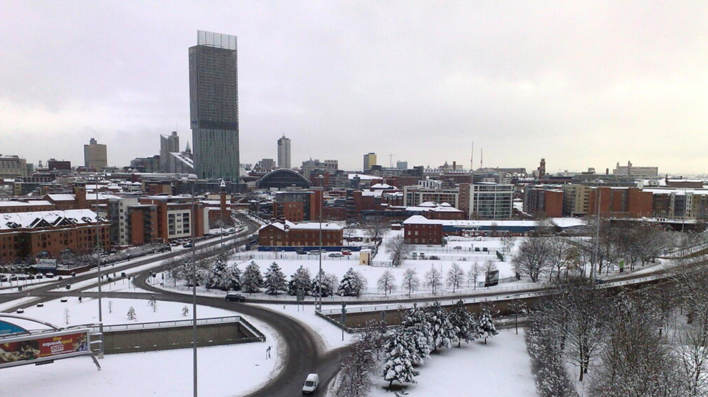
Met Office gives update on ‘possibility of snow’ as cold snap hits UK this week
A cold snap has well and truly arrived across the UK, and apparently, there’s even a “possibility of snow” before the week’s out too.
With December just a few days away now, it really is beginning to look a lot like Christmas, as far as the weather is concerned, as the temperatures have plummeted over the last few days, and these cold conditions are only set to continue as the week goes on.
In case you hadn’t heard, the UKHSA has already issued a yellow cold-health alert for the health sector covering northern regions of England – including Greater Manchester.
This alert is now in place, and remains throughout the whole week.
But do we have a ‘white December’ (if that’s even a ‘thing’) in store? And what are the chances of snow actually falling across our region this week? The Met Office has now given an update on what we can expect.
What is the Met Office predicting?
According to the Met Office, we’ll all probably need to wrap up warm for the foreseeable, as colder air is feeding in from the north across many parts of the UK over the next few days, and this is bringing with it the potential for wintry showers in some North Sea coastal areas, as well as some inland parts of northern Britain too.
“After some rain on Monday, conditions will turn mainly dry for a time, before a very uncertain period on Thursday and Friday,” explained David Oliver, who is the Met Office’s Deputy Chief Meteorologist.
He then added: “The weather models are highlighting several possible solutions, from very wet to mainly dry, with a mainly dry picture the most probable outcome at present.”
How likely is snow this week?
The wintery conditions may also bring “some snow and ice impacts” along with them, and then towards the end of the week and over the weekend, there’s “a possibility of snow” too, according to the Met Office – but weather forecasters say this is “far from certain”.
Going on to give an insight on the probability of snow, Mr Oliver then said: “Snow in any affected area is unlikely to be anything more than transient and short-lived,
“But it could lead to small totals and some disruption over a few hours before melting.”
Is snow in early December common?
It’s probably not that hard to believe, but snowfall in late autumn or early winter is becoming increasingly less common nowadays, and according to the Met Office, it “doesn’t generally linger” when it does occur too.
Meteorologists say this is because ground temperatures remain relatively high after the warmer summer months, especially compared with values in late winter after the ground loses more of its warmth.
Read more:
- Macclesfield Forest – the country walk that looks like a Christmas postcard in winter weather
- Council outlines plan to get Manchester’s rough sleepers off the streets this winter
- Manchester’s libraries are becoming ‘warm spaces’ with FREE hot drinks and Wi-Fi this winter
You can keep up-to-date with the latest forecast on the Met Office website.
Featured Image – Ethel Red (via Flickr)
