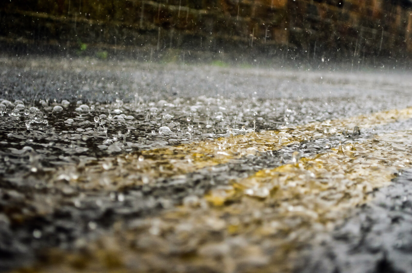
More rain is forecast to fall across Greater Manchester over the coming days after some areas of the region experienced flash flooding yesterday.
Greater Manchester saw heavy downpours for the vast majority of yesterday (Tuesday).
This lead to flash flooding and water coming into homes in Bury, particularly places in the Lower River Irwell catchment such as Tottington, Walshaw, Ramsbottom and Summerseat.
A flooding preparation warning for the area was issued via the gov.uk website, which read: “As a result of heavy persistent rainfall, river levels have been rising throughout the day in the lower Irwell catchment and flooding of low lying land is possible in this area.
“River levels will continue to rise over the coming hours… and our incident response staff are closely monitoring weather forecasts and river levels and will issue further flood alerts if necessary.
ADVERTISEMENT
“Please be aware of your surroundings and keep up to date with the current situation.”
James Daly – MP for Bury North – said: “My team and I are working hard to help residents and to assist in resolving this as quickly as possible [and] some of my team are on site assisting residents already”.
ADVERTISEMENT
He also stated that his office remained available to anyone who needed assistance.
Bury Council confirmed via Twitter that due to the heavy rainfall the borough was experiencing, it had “extra gully cleaning teams out and dealing with any localised flooding” and that it was “closely monitoring the weather and our response teams are on call.”
A spokesperson for Greater Manchester Fire and Rescue Service (GMFRS) said: “At around 11.50a.m on Tuesday 6th October, two fire engines from Manchester Central and Phillips Park were called to reports of flooding affecting around 50 houses on Market Street, Tottington.
“Firefighters arrived quickly and used water rescue gear to clear debris and isolate electrical supplies in homes on Market Street and Bury Road. Crews were assisted by colleagues from Greater Manchester Police and were at the scene for around three hours.
ADVERTISEMENT
“Firefighters gave safety advice to residents before handing over to Bury Council and United Utilities.”
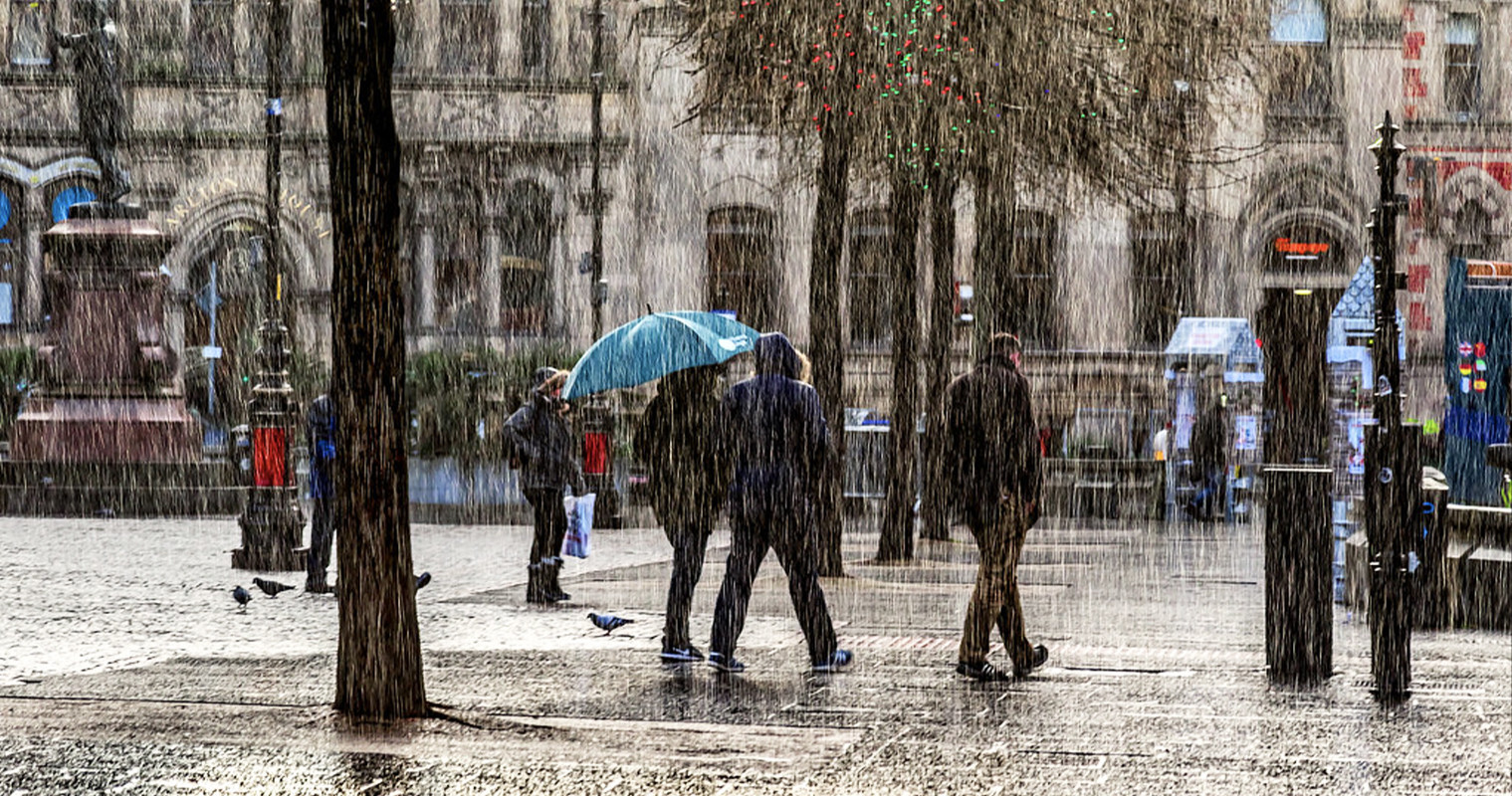
Elsewhere across other areas of Greater Manchester, trains were also halted due to landslips and some of the region’s motorways – the M6 Lancashire primarily – were closed due to standing water.
Flooded roads were also reported in Rochdale and Wigan.
Some light isolated showers were experienced first thing this morning in certain areas, but it has otherwise been a grey and overcast start for most parts of the region, and is set to remain this way for the most of the day, but despite this break in showers, the Met Office has warned that further heavy showers are expected to move in later this evening.
It’s expected to remain largely dry – with temperatures reaching a mild 10-11°C – until clouds thicken and more heavy rain moves in from the west, which will affect most of the region.
ADVERTISEMENT
More substantial downpours are possible from 10pm tonight, with it set to be a very wet night.
Heavy rain is expected throughout the night and into rush hour on Thursday, which could make road travel treacherous and travellers are urged to take care.
On a somewhat lighter note though, from Thursday onwards the Met Office said: “A mixture of sunny spells, patchy cloud and showers is likely for the rest of the day… Sunshine and scattered showers are to be expected across the region on Friday and through the weekend, although it may be drier on Sunday”.
They added that it will be “breezy and rather cold throughout.”
No other weather warnings are currently in place for the Greater Manchester region.
Trending
‘Hairy men’ needed to play soldiers in returning major fantasy TV series
Thomas Melia
A huge TV series has issued an urgent casting call for, very specifically, ‘hairy men’ to play soldiers.
The exact show hasn’t been named in the casting call, but it’s definitely a major returning fantasy, and is reportedly House of the Dragon, the hit Game of Thrones spin-off.
This big on demand show is set to start filming in just two months’ time, meaning anyone considering shouldn’t wait to apply.
There are a list of key characteristics candidates should have if hoping for this role, including a great work ethic and a professional attitude, something all Mancs like to think we have.
The job description states that no prior acting experience is required, one of the only other things you need to be good at is waking up early (well that’s me out).
Most importantly, headhunters are looking for individuals to take on that have one big factor in common… lots of hair.
On the official website where you can submit your headshots and photos, you will find a mood board filled with ranging hairstyles that fit the desired look the show is going for.
Most of the pictures on the site range from long curly locks to big bushy beards – it’s a shame Santa will be back in the North Pole by now.
All candidates must have grown-out hair, ‘overgrown scruff to longer beards’, this means no short, back and sides, or any ‘modern fades’ as stated by the casting team.
If the rumours are true and this turns out to be a shoot for House Of The Dragon, it would be great to see even more Northern talent feature in this show.
It wasn’t too long ago that fans and Mancs alike realised that actor Olivia Cooke, who plays Lady Alicent Hightower, was a local lass herself, born not too far away in Oldham.
One final and important note is that anyone who is likely to apply must make sure they’re 18+ and have a right to work in the UK.
Filming will take place across North Wales and the South East from March onwards, with rate of pay roughly £140-£300+ per day (depending on hours worked).
To apply for a chance to feature in the returning major fantasy series, you can do so by visiting the site HERE.
Greater Manchester set to be battered by ‘impactful’ heavy rain and wind this week
Emily Sergeant
Greater Manchester is set to be battered by some heavy rain and wind this week, according to the Met Office.
While things have seemed surprisingly more settled for the time of year over the last week or so, with clearer skies and chilly winter mornings being fairly commonplace, all that will change very soon, as the Met Office has forecasted that the UK is set to be battered by some ‘impactful’ heavy rain and strong winds as the week goes on.
Low pressure systems will bring a more ‘unsettled’ spell of weather, with a severe weather warning for wind issued for certain parts of the UK.
Today is expected to be filled with grey skies and light rain here in Greater Manchester, with cloud covering much of the rest of the country, and other outbreaks of rain elsewhere, whereas on Wednesday, the focus of rain will shift to southern England instead.
The weather looks set to turn more unsettled during the forthcoming week 🌧️ 🌬️
Thursday is where it’s set to take the biggest downturn though, as a front bringing heavy rain moves eastwards through the day, and it’s us here in North West England that are expected to see the highest accumulations too, with 20-30mm could falling over the hills, and some hill snow even possible over the Scottish mountains too.
A deep area of low pressure will also have ‘deepened rapidly’ by Thursday, bringing ‘strengthening winds’ to western parts of the UK along with it overnight, followed by more heavy rainfall.
Greater Manchester is set to be battered by ‘impactful’ heavy rain and wind this week / Credit: Wikimedia Commons
“A very deep area of low pressure will bring a very unsettled, potentially disruptive, spell of weather to the UK through Friday and into Saturday,” explained Chris Almond, who is the Met Office Deputy Chief Meteorologist.
“Winds will begin to strengthen on Thursday night, with the peak gusts forecast through Friday in Northern Ireland and western Scotland. The wind will also be accompanied by heavy rain bringing some unpleasant conditions to end the week.
“We have issued a Yellow weather warning for wind, and with several days before the impactful weather, the forecast details are likely to be fine-tuned during the week, so stay tuned to your local forecast and keep up to date with Met Office warnings.”