News
Over 400 homes in south Manchester evacuated as Storm Franklin continues to hit region
A yellow weather warning for wind has been issued for much of the country, while two 'danger to life' flood alerts remain in place.
Over 400 homes in areas of south Manchester have now been evacuated over flooding risks as Storm Franklin continues to batter the region.
After the arrival of Storm Dudley and Storm Eunice meant that Greater Manchester and widespread parts of the country were to hit by two storms within three days last week, with strong winds, heavy rain, snow and ‘blizzard conditions’ in some areas, travel chaos on roads and train lines, and thousands of homes left without power, Storm Franklin was named over the weekend.
The Met Office confirmed the naming of the storm on Saturday morning, and forecast that it would bring “strong winds and heavy rain to the UK on Sunday and Monday”.
A yellow weather warning for wind has been issued for much of the country.
As per the warning, the Met Office says that people could see some damage to buildings, trees/branches being brought down, transport services affected by delays and cancellations, some roads and bridges required to close, and power outages.
Injuries and “danger to life “could occur from large waves and beach material being thrown onto sea fronts, coastal roads, and properties, the Met Office also said.
Following the naming of the storm, the North West branch of the Environment Agency yesterday issued alerts – which indicates “a possible danger to life” – for 430 properties in Didsbury and Northenden after he River Mersey reached record levels.
The Environment Agency said the flood gates were opened.
Read more: How and why are storms named, and what will the next ones be called?
Police went door-to-door asking people to evacuate, and people left their homes to stay in hotels or with relatives, while Didsbury Mosque also offered shelter – however, despite the River Mersey reaching a record high, water levels were said to have peaked at midnight, before receding in the early hours.
Two severe flood warnings are still in place.
This is by no means the first time this area of the region has had to be evacuated due to flood risks, as last January, more than 2,000 properties in Didsbury and Northenden were evacuated after during Storm Christoph.
Homes in the area did however escape serious flooding when river levels came “within centimetres” of breaching defences.
Following last year’s storm, volunteers at Fletcher Moss Park – which is near flood basins for south Manchester – called for better environmental management after parts of the area flooded and benches were knocked over by rushing water.
Bev Craig, Leader of Manchester City Council, has provided an update on the situation in south Manchester this morning, explaining on Twitter that: “Thankfully after the peak at 4am, emergency evacuation operations on the ground were stood down and we got through the night without any flooding or damage to properties.
“Thanks again to everyone involved and to the hundreds of residents who were impacted.”
She also thanked representatives from the Council, the Environment Agency, GMP, Manchester Fire Service, and local volunteers “who have been at it all day and into the night”.
Elsewhere across Greater Manchester, road and rail services in some parts of the region have been affected this morning due to heavy rains, strong winds, and in some cases, obstruction to the lines, which has prompted a number of local transport providers to urge people not to travel, or delay journeys until after 10am.
Several south Manchester A roads are currently experiencing delays, while he M60 is closed in both directions near J10 due to an overturned lorry, and a tree is currently said to be blocking the railway lines between Manchester Piccadilly and Manchester Airport.
Some Metrolink services have also been affected for similar reasons.
The yellow weather warning amid Storm Franklin is set to end at 1pm today (21 February), with rain expected to lighten off and stop by 12pm.
Featured Image – ITV Granada News
News
Two teens arrested after stabbing of 14-year-old boy in Manchester city centre
 Emily Sergeant
Two teenagers have been arrested following the stabbing of a 14-year-old boy in Manchester city centre over the weekend.
In case you need bringing up to speed first, at around 3:15pm this past Saturday afternoon (17 October 2026), officers from Greater Manchester Police (GMP) were called out to reports of a stabbing on the ninth floor of the Arndale carpark in Manchester city centre.
Emergency services attended the scene, and a 14-year-old boy was taken to hospital with injuries consistent with a stab wound.
Thankfully, the victim’s injuries are not believed to be life-threatening or life changing, but an investigation and enquiries are ongoing.
Police conceded that this will ‘understandably’ cause concern in the community, but has assured the public that they believe this to be an ‘isolated incident.
And now, it has been confirmed that two teenage boys, also aged 14, were arrested on Sunday night (18 October) on suspicion of grievous bodily harm, and tat this time, they are currently in custody for questioning.
“We’d like to thank the local community for their support during our investigation as well as the passersby who helped the victim following this incident,” commented Detective Inspector Sean McFadden, of GMP’s City of Manchester district.
“Your quick-thinking undoubtedly saved the victim from potentially life-threatening injuries.
“We appreciate that incidents of this nature can cause concern and we’d like to reassure the public that we understand this was an isolated incident and there is no wider threat to the community.
Read more:
“Officers worked quickly and arrested two juveniles on Sunday, and they currently remain in custody for questioning.”
Anyone with information is asked to contact police on 101, quoting log 2050 of 17/10/2026, or via the LiveChat function. Alternatively, contact Crimestoppers anonymously on 0800 555 111.
Featured Image – GMP
News
UK Government announces £100 fines for ‘antisocial behaviour’ on public transport
Emily Sergeant
The Government has today announced plans to tackle antisocial behaviour on public transport.
In a bid to crackdown on loud music, littering, vaping, and other threatening behaviour on buses and trains, guidance was issued by the Government today for local authorities to prosecute and even issue fines of up to £100.
For many, playing audio out loud on public transport – also known as ‘loudcasting’ – has become one of modern life’s most irritating parts of the daily commute, but now, a new national campaign is aiming to encourage rail passengers, in particular, to ‘share the carriage, not the noise’ to improve the journey experience for all.
This will include reminders of the rules in place on the rail network and, if a passenger refuses to stop when asked by authorised rail staff, they can be removed from the train at the next station or face fines up to £1,000.
On buses, however, the powers for authorities were already made possible by the Bus Services Act 2025, meaning all local transport authorities in England are able to set and enforce their own rules.
Authorised officers – including transport safety officers and the police – will be responsible for enforcement, rather than bus drivers themselves, and they will be tasked with a three-step approach to deal with incidents. They will need to:
- Engage with the person
- Explain the rules and their impact on other passengers
- Take enforcement action if they refuse to comply
“We’ve all been on the train when someone starts blasting music or videos from their phone,” commented Prime Minister Andy Burnham.
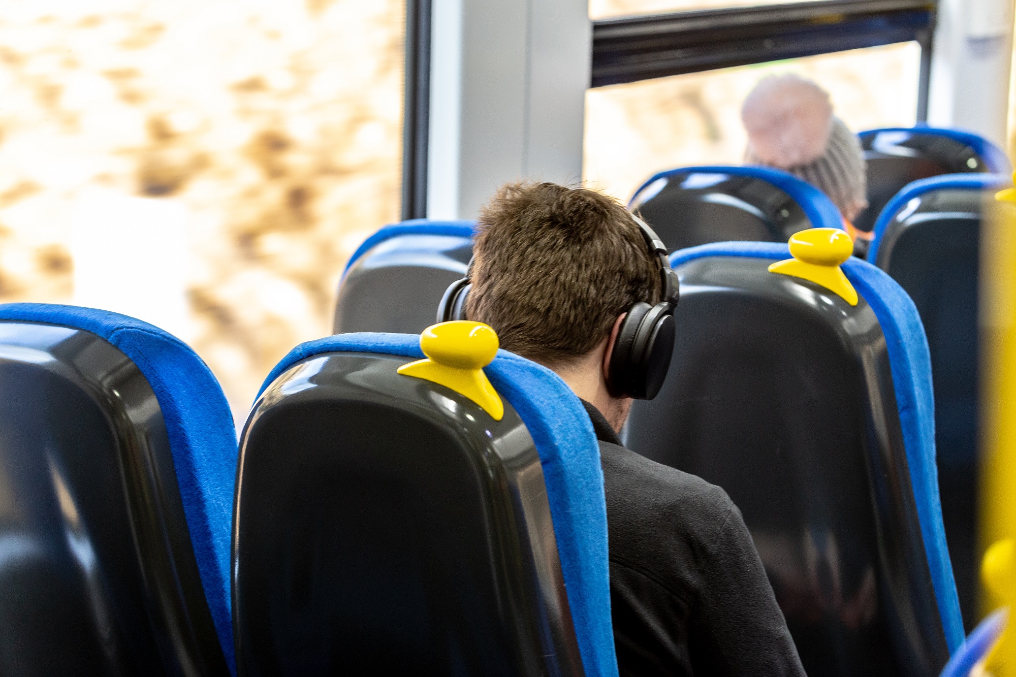
“It gets on your nerves and can quickly spoil the journey, so we’re launching a nationwide campaign reminding passengers to use headphones on trains. On top of that, we’re giving local leaders new powers to tackle loud music, vaping and littering on buses.
“It’s a simple thing, but one that will make journeys that little bit better for all of us.”
Read more:
Ben Plowden, Chief Executive at the Campaign for Better Transport, added: “Antisocial behaviour is not just irritating, it can be a real deterrent to people using public transport – especially people with different accessibility requirements.
“If these new powers are properly and visibly enforced, they should help everyone feel safe and comfortable on public transport and enjoy the ride.”
Featured Image – Northern

 Emily Sergeant -
21st February 2022
Emily Sergeant -
21st February 2022