If you saw footage of a ‘mini tornado’ ripping through Manchester online this past weekend, no, your eyes weren’t deceiving you: it did happen and, turns out, it’s a pretty strange and rare phenomenon– at least in this part of the world.
They say 0161 has everything but a beach, and now we seemingly have little twisters of our own, they might just have a point.
In all seriousness, footage went viral on social media, being met with equal surprise and alarm as most were understandably confused at how this could even happen in the UK, given our climate isn’t typically used to these kinds of weather events.
For those of you who haven’t seen it already, here’s what it looked like…
Did you see the mini Manc tornado that passed through Ancoats last weekend? 🌪️
We’ll admit that when first heard a so-called tornado had been spotted in Manchester, we pictured a little spiral of leaves and crisps packets in a supermarket car park, but as you can see, it really was much more significant than that.
ADVERTISEMENT
Reported as having towered as high as 30 metres along Great Ancoats Street, various people saw the startling city centre sight and quickly began querying what the hell they were seeing online.
Despite many dubbing it a tornado, we can confirm it was something slightly different.
ADVERTISEMENT
What caused the ‘Manchester tornado’?
What you’re looking at is what is colloquially known as a ‘dust devil’; put simply, these are small, rotating columns of air that pick up dust and debris from the ground and obviously resemble a tornado at times, especially when they manage to become as wide and tall as this one did.
As explained by the Met Office, “A dust devil forms due to irregularities caused by temperature contrasts on different surfaces, which then causes rotation of the air and, when there’s dust and debris, you can get these columns of air.”
Here’s another angle:
ADVERTISEMENT
WATCH: MASSIVE Dust Devil in Manchester, England yesterday!#tornado
We don’t need to tell you that it’s been pretty warm of late (bloody gorgeous, in fact) and, as a result, the chances of creating a proper dust devil are much greater than usual.
The Met Office went on to add: “Unlike tornadoes, dust devils grow upwards from the ground, rather than down from clouds. In the stronger dust devils, a cumulus cloud can be seen at the top of the rising column of warm air.
“They only last a few minutes because cool air is sucked into the base of the rising vortex, cooling the ground and cutting off its heat supply.”
It’s not the only strange meteorological event seen around Greater Manchester recently, either. From the likes of ‘supercell thunderstorm’ and the eerily silent ‘heat lightning’ in late 2023, to the UFO-like swirl seen across various parts of the globe earlier this year.
A ‘legacy walk’ in memory of the Joe Thompson is taking place across Greater Manchester
Danny Jones
The ‘Walk With Me for JT’, a.k.a Joe Thompson ‘Legacy Walk’, is back next month, and Greater Mancunians are being encouraged to take part.
Returning this year following his tragic passing last April, the now annual charity walk has already raised thousands for charity and is set for another big turnout.
Joe Thompson, an ex-Rochdale AFC and Bury FC player, sadly died at just 36 following a long battle with lymphoma, having been diagnosed three different times in 12 years.
While the young husband and father of two’s story is a heartbreaking one, it has also become a source of inspiration for so many across the North West and, indeed, across the UK, with people once again gearing up to complete a fundraising walk in his name.
Set to honour him by making the journey from his adopted home of Rochdale all the way to Old Trafford, with Thompson having come through Man United’s youth academy, the 15-mile trek will start at his former club’s Crown Oil Arena and stop at Bury’s Gigg Lane as well as Salford City’s Peninsula Stadium.
First held in 2024 under the ‘Walk With Me for JT’ banner, the initial legacy walk saw the Bath-born footballer and countless others complete 21 miles in an effort to raise money for treatment.
Gone but never forgotten, the charity walk survives not only in the hearts and souls of his family, friends and other people’s lives he touched, but in the community spirit that his struggle and immense bravery in the face of illness helped spur on throughout the region and beyond.
Writing on social media, the Thompson family and the Foundation in his memory said, “Last year, he walked beside us. This year, we walk for him. This isn’t just a walk… It’s a promise. A promise to carry his strength, his belief, his light forward.
For every family facing illness. For everyone experiencing loss or hardship. For anyone who needs hope right now. Every step matters. Every mile has meaning. Whether you’ve walked before or this is your first time. You won’t walk alone.”
Join the annual Joe Thompson legacy walk on Saturday 2nd May 💙
Departing from the Crown Oil Arena, the 15-mile walk will finish at Manchester United's Old Trafford 🏟️
They signed off by adding: “Be part of something bigger. Be part of Joe’s legacy. Be part of the movement. Get a team together, invite your friends, colleagues and family and let’s raise funds to support The Joe Thompson Foundation.”
With the event beginning at 11am on Saturday, 2 May, there have already been numerous sign-ups, and you can expect even more to lace up their shoes and pay tribute to a local hero.
If you want to join in the effort and help do your bit, you can register for the 2026 Joe Thompson Legacy Walk right HERE.
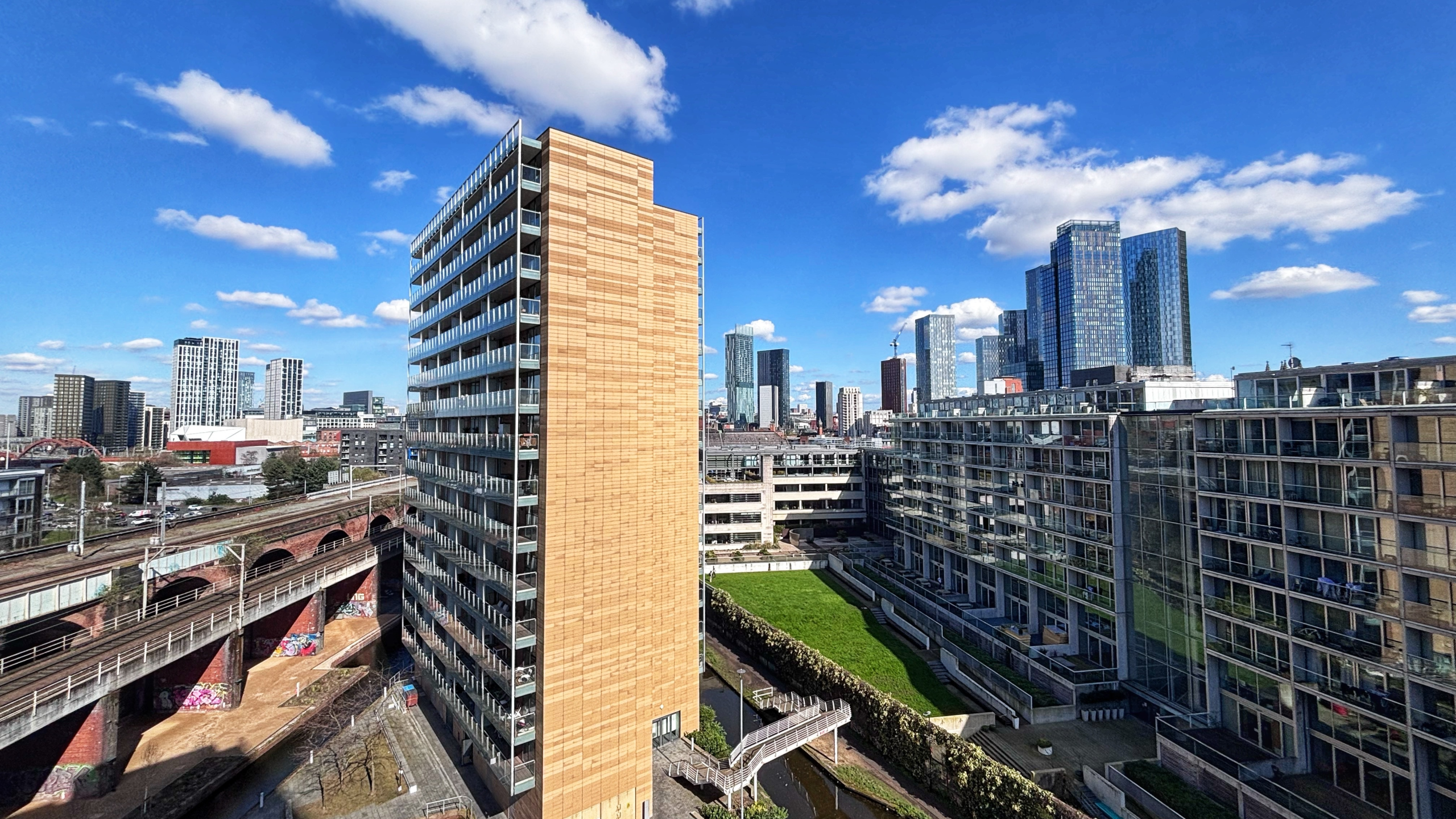
Manchester rent is now ‘41% more expensive than five years ago, according to a recent study
Danny Jones
Yes, that’s right, as per some of the latest data on leased housing in central Manchester, it’s now approximately 41% more expensive to rent here than it was half a decade ago.
If you’ve lived in and around the city centre for long enough, chances are that you’ve already been feeling that difference, especially of late.
The ongoing cost-of-living crisis roughly began in 2021, following the economy and the world essentially opening back up after multiple lockdowns, so it’s little surprise that new research has shown affordability when it comes to renting has been on a slump ever since, too.
As well as the price of seemingly most things in everyday life going up post-pandemic, the average rental rate for even just a one-bedroom flat/apartment has jumped up significantly between 2020 and 2025.
Even some ‘available’ housing in town is being hampered by claddin (Credit: Valienne via WikiCommons)
That’s according to the numbers crunched by credit card experts, Zable, anyway.
Not only did their recent report cite the rent prices going up even before the cost of living crisis – essentially following the outset of the Covid-19 outbreak – but if their figures, the rate of inflation and the unwaveringly high demand for housing are anything to go by, this trajectory is likely to continue in 2026.
As of February this year, around one in three UK households is now a single-person occupancy, which already comes with its challenges (the Manchester City Council tax discount being a thin lifeline for countless), not to mention energy bills and the cost of groceries continuing on an upwards trend.
Put in the simplest and most reductive terms, it’s now almost £300 dearer for most people to live on their own than it was back in 2020, and besides Liverpool clocking in as second on the list of increasingly expensive cities to live (a 42.12% increase), Manchester came in third.
You can see the full table down below:
Rank
City
% increase – 2020-2025
Difference from 2020 to 2025 in £
Average rental cost for a 1 bed 2025
1
Newport
47.39%
£2,611
£8,121
2
Liverpool
42.12%
£2,290
£7,727
3
Manchester
41.00%
£3,364
£11,569
4
Edinburgh
40.28%
£4,620
£16,090
5
Leicester
39.93%
£2,391
£8,379
6
Wolverhampton
39.22%
£2,049
£7,273
7
Nottingham
39.07%
£2,400
£8,543
8
Glasgow
38.02%
£2,679
£9,725
9
Colchester
37.63%
£2,617
£9,572
10
Cardiff
37.06%
£2,828
Average rental cost for a 1-bed 2025
Another fear is that with lots of people finding it hard to manage living in other major cities like London, even those moving to Manchester are also having an impact on how available affordable housing is here.
That’s why schemes such as the new ‘social rent’ development over in Wythenshawe are so important to the current generations of renters, with the possibility of owning your own property in the future becoming increasingly difficult for so many.
It’s also worth noting that Manchester ranked fourth among the British locations where the cost of living is said to have increased the most over the past five years, with the average difference in annual spend growing by an estimated 22.84%.